
434,000 €
APARTAMENTO CON TERRAZA
Montecala Gardens
PG039

- 2
- 2
- 192m2
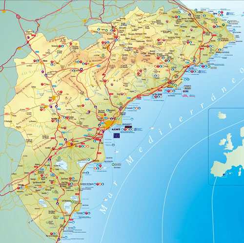
La Costa Blanca is equipped with a modern communications network that makes it accessible from anywhere in the world.
Road transport: a complete motorway network (AP-7) and the national road N-332 connect the towns and cities of La Costa Blanca with the main Spanish and European cities and areas.
Renfe AVE (Spanish High Speed Rail Service) is the high-end rail service of the Spanish operator Renfe, intended for the transport of long-distance passengers by high-speed. It is the only one capable of reaching an operational commercial speed of 300 km/h and covers the entire Spanish territory.
Air transport is firmly established in La Costa Blanca and the Autonomous Community of Valencia with Alicante's 'EL Altet' international airport, offering a large number of operators, including many low-cost companies, car hire services, taxis, etc., and Valencia's 'Manises' international airport. To obtain detailed information on the airports of Alicante and Valencia, please visit the AENA website (Spanish Airports and Air Transport).
Sea transport in La Costa Blanca is available in Alicante, whose port has become one of the main Mediterranean ports for cruise liners. Denia's port also offers ferry crossings to the Balearic Islands, with various shipping companies providing regular crossings.Distances from Cumbre del Sol (Poble Nou de Benitachell) to the main cities of La Costa Blanca and the Autonomous Community of Valencia.
- Alicante: 68.11 kilometres.
- 'El Altet' airport in Alicante: 82.10 kilometres.
- Valencia: 120.90 kilometres.
- 'Manises' airport in Valencia: 130.90 kilometres.
- Denia: 17.90 kilometres.
- Benidorm: 32.11 kilometres.
- Gandia: 57.90 kilometres.
- Madrid: 465.90 kilometres.
- Barcelona: 462.90 kilometres.
A dynamic and innovative business group that concentrates all its efforts and dedication to achieve full customer satisfaction by adopting a commitment to quality in its processes, products and services. The more than 8.000 homes built in 14 housing estates, bought by people from all around the world are living proof of the experience and know-how of the VAPF Group.
1963 - 2024 © All rights reserved Legal information
